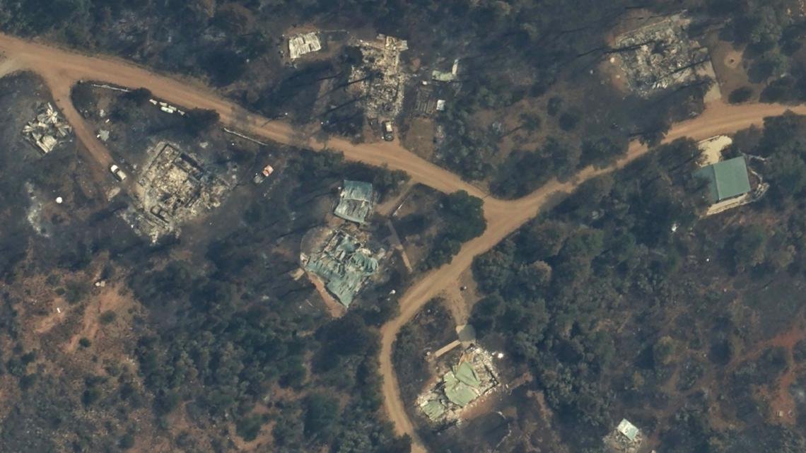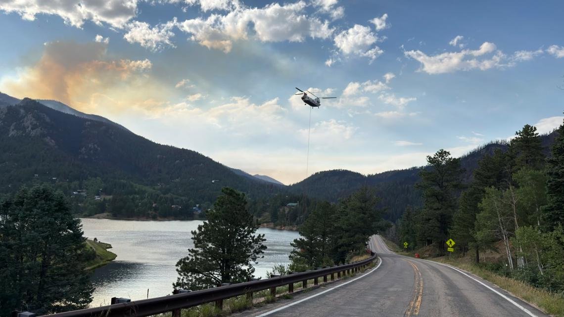
The Aspen Acres fire in southern Colorado, one of the largest in state history, destroyed 851 structures and forced mass evacuations.
Paradise, Colorado. The Aspen Acres fire in southern Colorado has burned nearly 100,000 acres and destroyed more than 800 structures, firefighters said.
Operations Chief Brad Washa of the Alaska Incident Management Team reported last Friday that 851 structures had been destroyed. At least 337 houses.

This story continues below.
The fire, which started June 29, is the seventh-largest wildfire in Colorado history. On July 2, fire officials said the fire was human-caused and the investigation was ongoing.
As of Thursday evening, the fire had burned 99,820 acres with 48% containment, according to fire officials.
A temporary flight restriction (TFR) is in effect over the fire zone, which prohibits the flight of any aircraft, including drones or unmanned aerial systems.
RELATED: Here are the wildfires burning in Colorado
Evacuation and road closures
In Pueblo County, Beulah residents began returning Monday. Evacuation status has been lifted for the northern and northeastern portions of the Aspen Acres fire perimeter. Residents south of Highway 96 and north of Highway 78 are allowed to return to their homes.
All residents will remain on pre-evacuation status and must be prepared to leave the area if conditions change. The fire remains active near North Muddy Creek and could spread to Paradise. This leaves the evacuation status on the south side of the fire and Colorado City remains in pre-evacuation status. For Pueblo County evacuation information, call the Joint Information Center (JIC) at 719-583-4640; Information about the Disaster Assistance Center (DAC) is also available.
Evacuation information can be found on the Pueblo County Sheriff’s Office website.
RELATED: Some Beulah residents allowed to return home after evacuating due to Aspen Acres fire.
The Fremont County Sheriff’s Office has revoked the county’s pre-evacuation status. There is an “Awareness Status” in place to encourage residents to stay informed, follow official updates and stay prepared. Evacuation information can be found on the Fremont County Sheriff’s Office Facebook page.
In Custer County, residents of Wetmore began returning Monday, with the area under pre-evacuation status. Other areas of the county remain under evacuation status. Highway 96 from Siloam Road in Pueblo County is open until County Road 395 (between Wetmore and Greenwood) or approximately mile marker 24.5 on Highway 96. It remains closed from CR 395 to McKenzie Junction. Highway 67 from Wetmore to Florence is open. For questions about re-entry into Custer County, call 719-467-0271.
The Huerfano County Sheriff’s Office evacuated all areas of the national forest east of where Williams Creek intersects the national forest and then followed Williams Creek north to where Williams Creek intersects CR 630 and followed CR 630 generally north to where CR 630 intersects CR 636 and continued to follow CR 630 west to where it intersects CR 634 (Gardner Road) and then running due north to the county line. The southern and eastern boundaries of the evacuation area are the US Forest Service boundary and the northern boundary is the county line. For more information, call 719-738-1044 to reach Huerfano County Dispatch.
Visit cotrip.org for the latest information on road closures.