

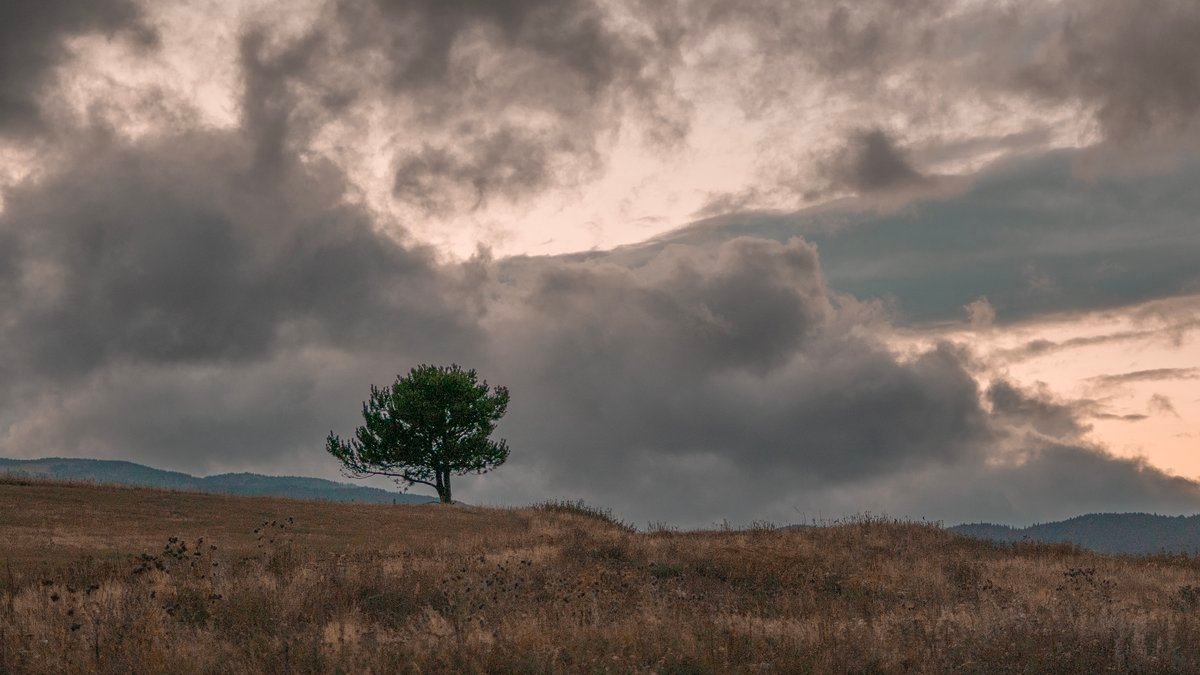
Météo-France predicts a clear sharp deterioration in the situation in Languedoc-Roussillon this Thursday. Following this wet episode, the arrival of Tramontana on Saturday will bring with it very dry continental air, followed by the return of intense heat this weekend with peaks of 38C.
The air has become heavier and more humid: after several days of dry heat, under the influence of a powerful anticyclone, the Languedoc-Roussillon is again plunging into a much more humid atmosphere. Much of the coast and plains are now dominated by morning fog, low clouds and occasional overcast skies.
As Météo-France explains through weather forecaster Pierre-Louis Kidel, “This change in weather is explained by the geosea situation”. The anticyclone that dominated in recent days has given way to “sea flow regime”providing greater humidity. Without any real disruption before Wednesday, this flow was nonetheless enough to significantly change the atmosphere: “The clouds eventually overtake the coastline”with bands of fog over the plains of Languedoc and cloudiness from Roussillon to Gard, sometimes blocked by the terrain, especially towards the Gruissant plateau.
Thunderstorm forecast for Thursday and Friday
On Thursday, this persistent moisture is accompanied by increasing instability. “We have the ingredients to create storms”forecaster assesses. Already operating in the center of the country, they can reach parts of the region within a day. Thunderclaps are expected locally, especially in the Eastern Pyrenees, Aude and Hérault. “strong gusts of wind and hail possible”. A yellow storm warning has been issued for the entire area of the former Languedoc-Roussillon, with the exception of the Gard, with rainfall amounts highly variable depending on the sector.
The risk of storms will shift north on Friday, predominantly in Lozère in the afternoon. On the coast, some sea calls persist in the mornings, especially in the Camargue. But changes begin: “With the arrival of the Tramontane in Aude we are shifting towards the drier continental wind”explains Pierre-Louis Kidel. This event will be confirmed on Saturday with the return of mostly sunny weather and little to no risk of storms except for terrain such as Canigou. Sunday promises to be just as warm and stable.
Highs of up to 38°C are expected this weekend.
In terms of temperature, the heat remains stable. In Montpellier the maximum will reach 35°C, and in the interior on Friday even 38°C. In Nîmes, temperatures will remain warm and stable with 36-38°C until the weekend, with minimum temperatures around 22-23°C.
In Carcassonne, temperatures are expected to drop temporarily with thunderstorms on Thursday and Friday, before rising to around 36C later in the week. “With the return of the continental wind, the air dries out and the heat reaches the coast.”– the weather forecaster emphasizes. Classic summer scenario: “We move from a wet offshore current to a drier westerly current, often after a storm.”. Until then, humidity will prevail, creating a noticeable impression of heaviness throughout the region.